IT integrations 
Harness the power of integrated agricultural solutions
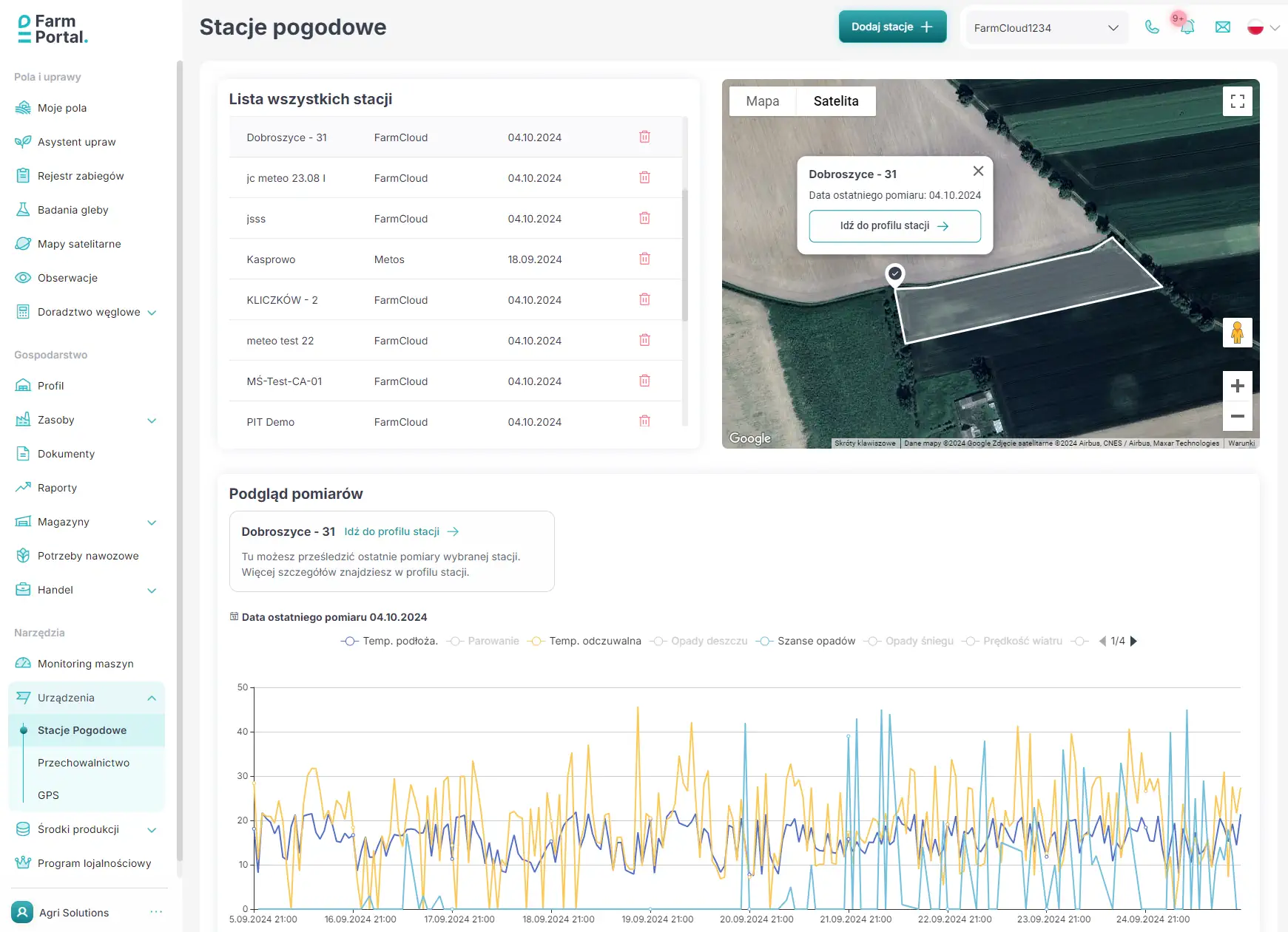
Virtual Weather Stations
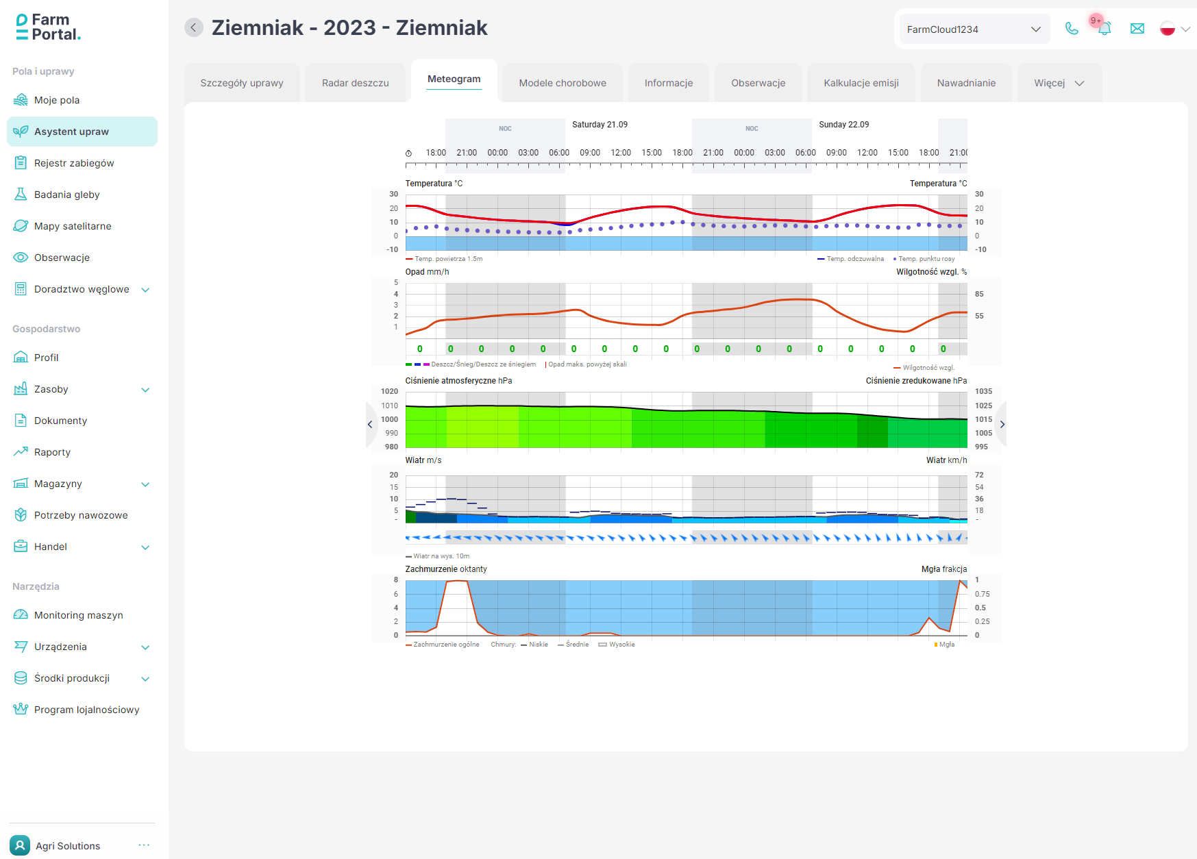
We collaborate with numerous weather data providers who deliver precise forecasts and historical data. For every added field, FarmPortal creates a virtual weather station with the best possible forecast. You can use these virtual stations to monitor crops, plan irrigation, fertilization, and determine spraying windows. Like real weather stations, you will receive alerts after setting alarm thresholds.
Satellite Images
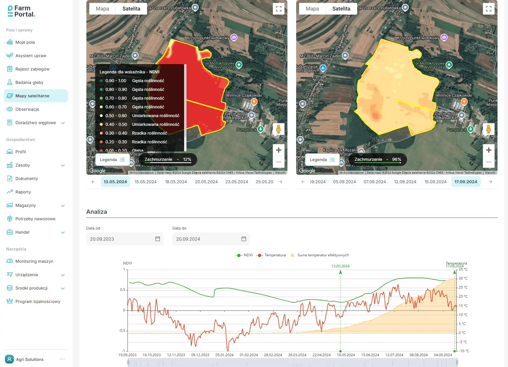
NDVI and satellite images are powerful tools that revolutionize agriculture. They enable farmers to make more informed decisions, increase crop efficiency, and minimize environmental impact. Use satellite imaging in FarmPortal to:
Frost Service
In collaboration with meteo.pl, FarmPortal provides a proven frost warning service for your crops. You will receive a notification about impending threats so you can quickly take preventive measures.
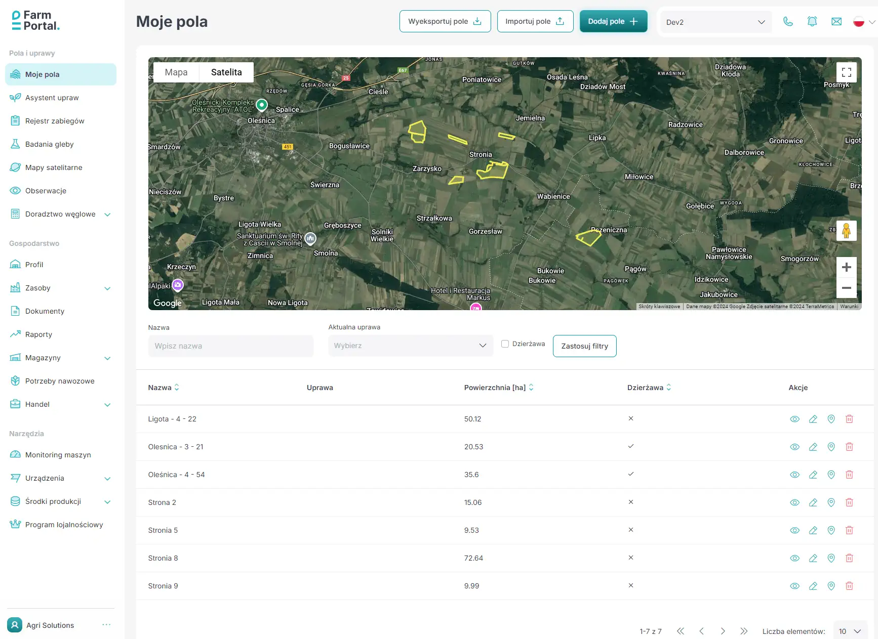
Plot Registration from GeoPortal
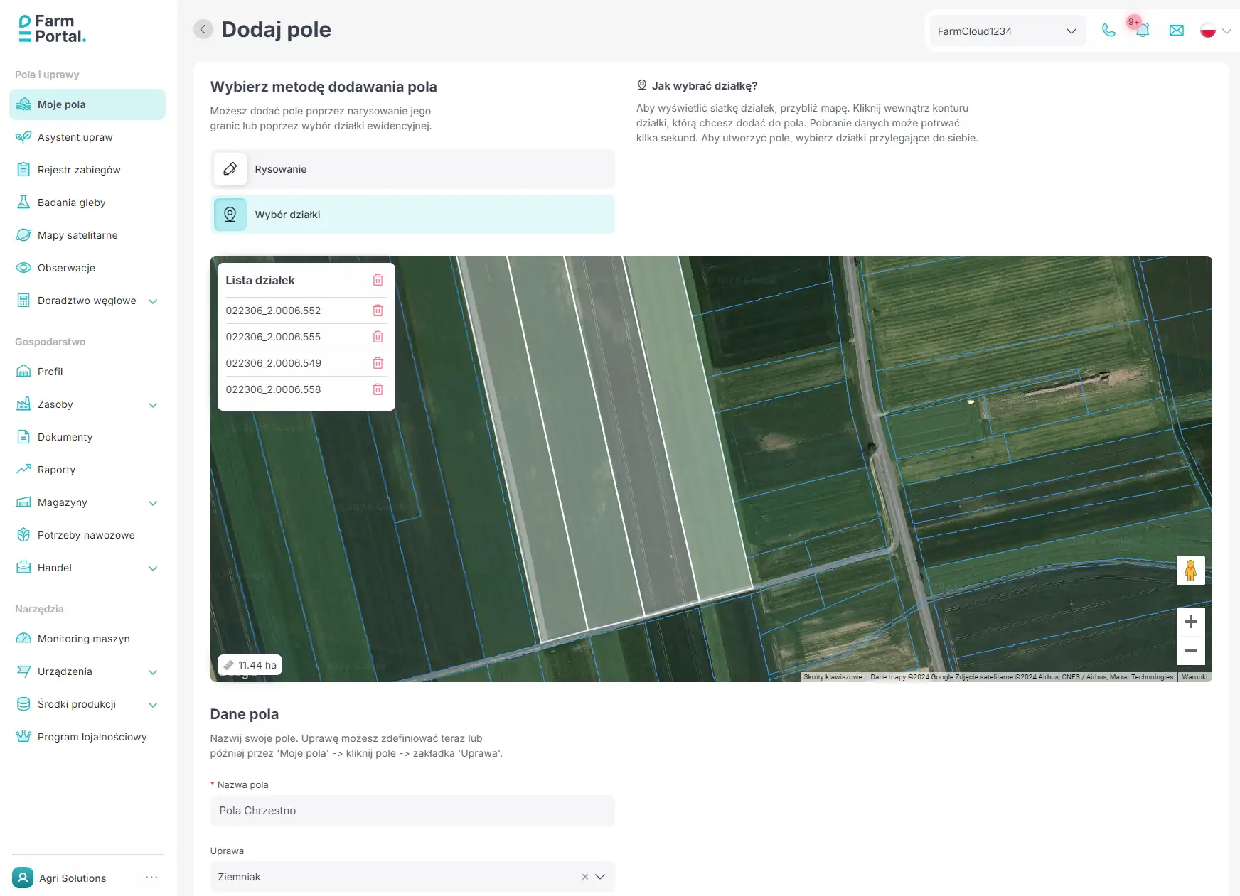
Adding fields to your farm has never been easier. We have integrated FarmPortal with the National Land Register, enabling you to define fields by selecting cadastral plots on the map. TERYT numbers are automatically assigned – useful for subsidies or product passportization.
Field Import from ARiMR
An extremely easy start with the application. Thanks to integration with the ARiMR e-application, you no longer need to manually enter each field. Simply log into the ARiMR e-application, choose the export option in the crop summary section, and then upload the file to FarmPortal. That’s it! All fields from the area applications are now in the app, ready for management.
Integration with ERP, CRM, and MRP Systems
FarmCloud, and consequently its FarmPortal application for farm management, is the only solution on the market that enables integration with external ERP, CRM, or MRP systems. Installed on enterprise servers, FarmCloud exchanges data with SAP, MS Dynamics, Comarch Optima, and other internally developed solutions. A private FarmCloud installation also offers unlimited opportunities for expansion, configuration, and branding.

Farm Management System